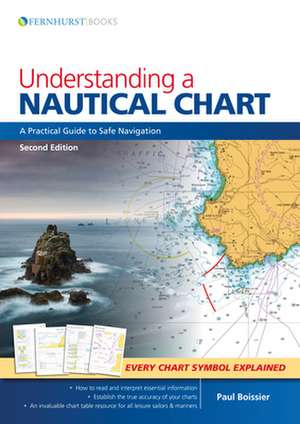
Understanding a Nautical Chart
Autor Paul Boissieren Limba Engleză Paperback – 9 ian 2018
Preț: 141.37 lei
Puncte Express: 212
Carte disponibilă
Livrare economică 06-20 mai
Livrare express 22-28 aprilie pentru 43.48 lei
Specificații
ISBN-13: 9781912177073
ISBN-10: 1912177072
Pagini: 200
Dimensiuni: 210 x 298 x 12 mm
Greutate: 0.75 kg
Ediția:Nouă
Editura: FERNHURST BOOKS
ISBN-10: 1912177072
Pagini: 200
Dimensiuni: 210 x 298 x 12 mm
Greutate: 0.75 kg
Ediția:Nouă
Editura: FERNHURST BOOKS
V-ar putea interesa
-
 Conquer Your Fear of WaterMelon DashPreț: 169.57 lei
 -
 Swimming Complete Guide (2 Books in 1)Miriam FastPreț: 180.16 lei
 -
 Swimming LessonsMiriam FastPreț: 116.85 lei
 -
 HOW TO SWIM FASTERMiriam FastPreț: 118.47 lei
 -
 Learn the Nautical Rules of the RoadPaul BoissierPreț: 116.72 lei
 -
 Mastering Navigation at SeaPaul BoissierPreț: 125.24 lei
 -
 Deutsches Tauchsportabzeichen** /*** (CMAS**/CMAS***)Verband Deutscher Sporttaucher e. V.Preț: 224.89 lei
 -
 KanuwandernKerstin BeckerPreț: 72.32 lei
 -
 Hafenführer für Hausboote: Berlin & BrandenburgRobert TremmelPreț: 311.04 lei
 -
 Kayak Isle RoyaleJuniper Lauren RossPreț: 125.02 lei
Textul de pe ultima copertă
Understanding a Nautical Chart Read … Interpret … Understand.
We all rely on charts to navigate at sea – but are we missing essential information? A mass of data included on each chart and deciphering the many symbols and abbreviations can be complicated. The accuracy of some charted depths can be trusted entirely while others should be treated with caution. This book will tell you where to find – and how to understand – this vital knowledge.
Understanding a Nautical Chart explains how charts are compiled before guiding you through the elements that make up these vital navigational tools. Improve your understanding of charts and you will navigate with increased safety and confidence.
Understanding a Nautical Chart offers superb value. In addition to a wealth of practical advice there is a key to all the chart symbols and abbreviations.
- Includes information on electronic charts
- How to update a chart
- Establish the accuracy of each chart
- Ideal for professional mariners and leisure sailors
- Includes a key to every Admiralty chart symbol and abbreviation
Cuprins
Chapter 1 What is a Chart? Chapter 2 A Chart is Never 100% Accurate.
Chapter 3 What the Chart–Maker Does for Us.
Chapter 4 Other Relevant Documentation.
Chapter 5 How to Use a Chart.
Chapter 6 Orientation.
Chapter 7 The Basics (and Where to Find Them).
Chapter 8 Depth and Elevations.
Chapter 9 Landmarks, Light and Coastal Features.
Chapter 10 Dangers: Wrecks, Rocks and Obstructions.
Chapter 11 Navigation Restrictions and Limits.
Chapter 12 Radar and Radio.
Chapter 13 Tides, Tidal Streams and Currents.
Chapter 14 Small Craft Features.
Chapter 15 Other Charting Authorities.
Chapter 16 GPS.
Chapter 17 Digital Charting.
Recenzii
‘Highly Recommended...a very valuable resource...almost everyone will take something from it.’ (Sailing Today, June 2011).
‘Not only does the book provide a complete key to chart symbols, it explains the way they are compiled.’ )Yachting World, July 2011).
‘Not only does the book provide a complete key to chart symbols, it explains the way they are compiled.’ )Yachting World, July 2011).