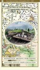
A Shropshire 1611 - 1836 - Fold Up Map that features a collection of Four Historic Maps, John Speed's County Map 1611, Johan Blaeu's County Map of 1648, Thomas Moules County Map of 1836 and a Map of the Severn Valley Railway in 1887.The maps also feature a number of early views across Shropshire including the famous Ironbridge over the Severn and the Severn at Bridgnorth.
2019
Paperback
Preț: 143.10 lei
3-5 săpt. | 7-13 zile