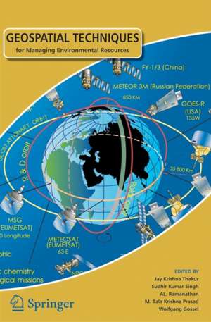
Geospatial Techniques for Managing Environmental Resources
Editat de Jay Krishna Thakur, Sudhir Kumar Singh, AL. Ramanathan, M. Bala Krishna Prasad, Wolfgang Gosselen Limba Engleză Hardback – 29 sep 2011
Observăm în volumul Geospatial Techniques for Managing Environmental Resources o abordare interdisciplinară riguroasă, care conectează informatica de mediu, hidrologia, silvicultura și gestiunea riscurilor naturale prin intermediul tehnologiilor spațiale. Lucrarea, publicată sub egida Springer, funcționează ca o sinteză a metodelor avansate de achiziție, stocare și analiză a datelor geo-spațiale, fiind esențială pentru înțelegerea dinamicii resurselor în contextul schimbărilor climatice globale.
Apreciem structura logică a celor zece capitole, care ghidează cititorul de la fundamentele teoretice ale informaticii de mediu către aplicații extrem de specifice. Remarcăm diversitatea geografică și tematică a studiilor de caz: de la utilizarea sistemelor informatice geografice pentru monitorizarea datelor marine, până la estimarea evapotranspirației în zonele umede și clasificarea lacurilor glaciare din Himalaya. Această progresie demonstrează versatilitatea tehnicilor de teledetecție și a sistemelor GPS în rezolvarea unor probleme de mediu complexe.
Cititorii familiarizați cu Geoinformatics for Environmental Management de M Anji Reddy vor aprecia în acest volum focalizarea mai accentuată pe modelarea riscurilor și pe utilizarea unor seturi de date specifice, precum senzorii ALOS/PALSAR. În timp ce alte lucrări oferă o introducere generală în domeniu, volumul editat de Jay Krishna Thakur și colegii săi se distinge prin rigoarea procesului de peer-review și prin integrarea informaticii de înaltă performanță în simularea proceselor geografice intensive. Este o resursă tehnică ce documentează tranziția către o societate a cunoașterii, unde deciziile de management al resurselor sunt fundamentate pe date spațiale precise.
Preț: 624.77 lei
Preț vechi: 735.03 lei
-15%
Carte disponibilă
Livrare economică 06-20 august
Specificații
ISBN-10: 9400718578
Pagini: 280
Ilustrații: XII, 296 p. 75 illus., 30 illus. in color.
Dimensiuni: 155 x 235 x 23 mm
Greutate: 0.68 kg
Ediția:2012
Editura: SPRINGER NETHERLANDS
Colecția Springer
Locul publicării:Dordrecht, Netherlands
V-ar putea interesa
-
 -22%Preț: 522.34 lei671.82 lei
 -
 Spatial Data Analysis: An Introduction for GIS usersChristopher Lloyd-22%Preț: 382.72 lei493.27 lei
 -
 -15%Preț: 533.27 lei627.37 lei
 -
 Geographic Information AnalysisDavid O'Sullivan-9%Preț: 765.70 lei841.42 lei
 -
 Integration of Geographic Information Systems and Remote SensingJeffrey L. StarPreț: 442.55 lei
 -
 Physical Principles of Remote SensingW. G. Rees-19%Preț: 625.36 lei772.05 lei
 -
 Image Processing and GIS for Remote SensingJian Guo Liu-9%Preț: 692.11 lei760.56 lei
 -
 Spatial Statistics: GeoSpatial Information Modeling and Thematic MappingMohammed A. Kalkhan-18%Preț: 786.14 lei958.70 lei
 -
 GNSS – Global Navigation Satellite Systems: GPS, GLONASS, Galileo, and moreBernhard Hofmann-Wellenhof-18%Preț: 1084.83 lei1322.95 lei
Public țintă
ResearchDe ce să citești această carte
Recomandăm această lucrare cercetătorilor și practicienilor care au nevoie de o bază științifică solidă pentru aplicarea tehnicilor SIG și remote sensing. Cititorul câștigă o perspectivă aplicată asupra modului în care datele satelitare pot soluționa probleme urgente de mediu, de la managementul apei la conservarea pădurilor. Este un instrument valoros pentru cei care doresc să implementeze soluții sustenabile bazate pe dovezi geospațiale concrete.