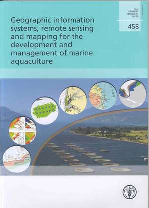
Geographic Information Systems, Remote Sensing and Mapping for the Development and Management of Marine Aquaculture: Fao Fisheries and Aquaculture Technical Papers
Autor Food and Agriculture Organization of theen Limba Engleză Paperback – 31 ian 2007


Preț: 240.16 lei
Nou
Puncte Express: 360
Preț estimativ în valută:
42.50€ • 49.56$ • 37.31£
42.50€ • 49.56$ • 37.31£
Comandă specială
Livrare economică 25 decembrie 25 - 08 ianuarie 26
Doresc să fiu notificat când acest titlu va fi disponibil:
Se trimite...
Preluare comenzi: 021 569.72.76
Specificații
ISBN-13: 9789251056462
ISBN-10: 9251056463
Pagini: 138
Dimensiuni: 203 x 290 x 5 mm
Greutate: 0.25 kg
Editura: Fao
Seria Fao Fisheries and Aquaculture Technical Papers
ISBN-10: 9251056463
Pagini: 138
Dimensiuni: 203 x 290 x 5 mm
Greutate: 0.25 kg
Editura: Fao
Seria Fao Fisheries and Aquaculture Technical Papers