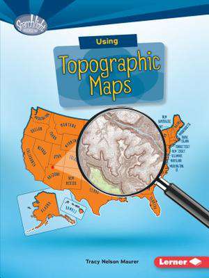
Using Topographic Maps
Autor Tracy Nelson Maureren Limba Engleză Paperback – aug 2016 – vârsta până la 11 ani
-- "Journal"
Preț: 65.01 lei
Puncte Express: 98
Carte indisponibilă temporar
Doresc să fiu notificat când acest titlu va fi disponibil:
Se trimite...
Specificații
ISBN-13: 9781512412963
ISBN-10: 1512412961
Pagini: 40
Dimensiuni: 165 x 224 x 5 mm
Greutate: 0.07 kg
Editura: Lerner Publishing Group
ISBN-10: 1512412961
Pagini: 40
Dimensiuni: 165 x 224 x 5 mm
Greutate: 0.07 kg
Editura: Lerner Publishing Group
Notă biografică
Tracy Nelson Maurer has published more than 100 titles for children and young adults, including many nonfiction books for schools and libraries. Tracy holds an MFA in Writing for Children and Young Adults from Hamline University and lives with her family near Minneapolis, Minnesota. Find her on Facebook or Twitter, or at TracyMaurerWriter.com.