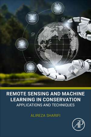
Remote Sensing and Machine Learning in Conservation: Applications and Techniques
Autor Alireza Sharifien Limba Engleză Paperback – mar 2027
- Summarizes the latest advances in remote sensing and machine learning techniques for conservation
- Provides practical examples for how these technologies are used to address key conservation challenges
- Delivers step-by-step guidance on how to implement these technologies, including funding and policy recommendations
- Outlines the potential applications of these technologies in different conservation settings, from protected areas to urban environments
Preț: 957.87 lei
Preț vechi: 1244.00 lei
-23% Precomandă
Carte nepublicată încă
Specificații
ISBN-10: 0443445427
Pagini: 305
Dimensiuni: 152 x 229 mm
Editura: ELSEVIER SCIENCE
Cuprins
- Introduction
- Overview of Remote Sensing Techniques
- Overview of Machine Learning and Deep Learning Techniques
- Integrating Remote Sensing and Machine Learning for Conservation
- Applications of Remote Sensing and Machine Learning in Conservation
- Wildlife Monitoring and Conservation with Remote Sensing, Sensor Networks, and Machine Learning
- Conservation Challenges and Technology-Based Solutions
- Practical Case Studies and Project Design in Conservation GeoAI
- Cloud-Based Platforms, Open Data, and Reproducible Conservation Workflows
- Policy, Governance, Ethics, and Responsible Use of Conservation Technologies
- Future Directions in Remote Sensing, Machine Learning, and Conservation Intelligence
Notă biografică
Dr. Alireza Sharifi is an Associate Professor of Remote Sensing at Shahid Beheshti University. His work focuses on remote sensing, geospatial analysis, and machine learning for environmental monitoring, ecosystem assessment, and sustainable resource management. He received his Ph.D. in Remote Sensing Engineering from the University of Tehran, where his doctoral research examined forest biomass modeling using multi-polarized SAR imagery. His earlier graduate research addressed hyperspectral image classification through spectral-signature analysis.
His research interests include GeoAI, deep learning, hyperspectral and multispectral image analysis, SAR applications, anomaly detection, land-cover mapping, crop monitoring, vegetation-health assessment, flood and drought monitoring, environmental-pollution mapping, forest-biomass estimation, and precision agriculture. His experience with optical, radar, and hyperspectral data provides the methodological foundation for the book's practical and scientifically grounded treatment of conservation, ecosystem monitoring, and sustainable environmental management.