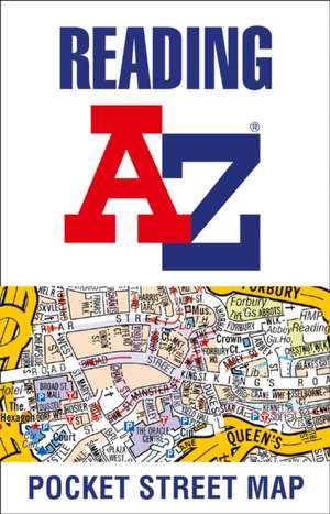
Reading Pocket Street Map
Autor A-Z Mapsen Limba Engleză Hardback – iul 2021
As well as the city centre and the University of Reading, the other areas covered include Whitley, Coley Park, New Town and Caversham.
The large-scale street map includes the following:
¿ Places of interest
¿ Postcode districts, one-way streets and car parks
¿ Index to streets, places of interest, place and area names, park and ride sites, national rail stations, hospitals and hospices
The perfect reference map for finding your way around Reading.
Preț: 33.53 lei
Puncte Express: 50
Carte disponibilă
Livrare economică 02-16 noiembrie
Livrare express 16-22 octombrie pentru 33.00 lei
Livrare prin curier în România Termenul estimat este afișat lângă disponibilitate.
Transport gratuit de la 400.00 lei Plată online sau ramburs, în funcție de opțiunile comenzii.
Retur gratuit în 14 zile Comandă securizată și suport în română.
Specificații
ISBN-13: 9780008445300
ISBN-10: 0008445303
Pagini: 2
Dimensiuni: 90 x 140 x 8 mm
Greutate: 0.01 kg
Editura: Harper Collins, UK
ISBN-10: 0008445303
Pagini: 2
Dimensiuni: 90 x 140 x 8 mm
Greutate: 0.01 kg
Editura: Harper Collins, UK
Notă biografică
Britain's leading street map publisher providing cartographic services, digital data products and paper mapping publications (including Street Atlases, Visitors Guides, Great Britain Road Atlases and The Adventure Atlas).
Descriere
Clear and easy-to-read map of Reading and surrounding area. Contains detailed mapping, presented in a handy compact format. This attractive map, ideal for both tourists and residents, and fully updated, has an extensive area of coverage and displays a wealth of detail.