Mapping Britain: The Story of an Island through the Ordnance Survey Archives
Autor Will Millard, Ordnance Surveyen Limba Engleză Hardback – oct 2026
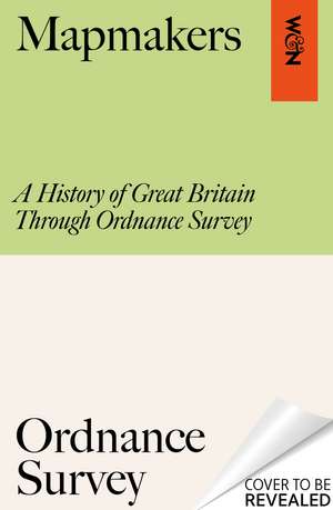
Ordnance Survey has been the home of British mapmaking since 1745, when a twenty-one-year old engineer was first tasked with a small-scale military survey of Scotland. Since then, its maps have borne witness to nearly three centuries of phenomenal transformation, from the British Empire to the Industrial Revolution, World War I to the digital era, and are still trusted and treasured by millions of us today.
In Mapping Britain, Will Millard brings the illustrious Ordnance Survey archive to life in a fully-illustrated story of Britain that explores what these maps can tell us about where, why and how we have moved around this island over the centuries. We find disappearing villages, secretive smuggling paths, top-secret military plans and even the detailed maps of Buckingham Palace gifted to Queen Victoria on her fiftieth jubilee.
Rich, rewarding and endlessly fascinating, Mapping Britain is an unmissable record of how our landscape has changed - and how it might do so in the future.
Preț: 206.26 lei
Preț vechi: 255.42 lei
-19% Nou
Puncte Express: 309
Carte disponibilă
Livrare economică 09-23 noiembrie
Livrare express 23-29 octombrie pentru 116.64 lei
Livrare prin curier în România Termenul estimat este afișat lângă disponibilitate.
Transport gratuit de la 400.00 lei Plată online sau ramburs, în funcție de opțiunile comenzii.
Retur gratuit în 14 zile Comandă securizată și suport în română.
Specificații
ISBN-13: 9781399625845
ISBN-10: 1399625845
Pagini: 256
Ilustrații: Full colour maps throughout
Dimensiuni: 194 x 248 x 26 mm
Greutate: 1.04 kg
Editura: Orion Publishing Group
Colecția W&N
Locul publicării:London, United Kingdom
ISBN-10: 1399625845
Pagini: 256
Ilustrații: Full colour maps throughout
Dimensiuni: 194 x 248 x 26 mm
Greutate: 1.04 kg
Editura: Orion Publishing Group
Colecția W&N
Locul publicării:London, United Kingdom
Notă biografică
Will Millard is a bestselling writer, explorer and award-winning broadcaster based in South Wales. He has authored or co-authored multiple bestsellers, including the international bestseller The Way of the Hermit with Ken 'the Hermit of Treig' Smith. Will has presented seven BBC series and three standalone documentaries, winning the prestigious BAFTA Cymru Award for 'Best Presenter' for his hit BBC series Hunters of the South Seas. He is a fellow of the Royal Geographical Society and an Ambassador for World Fish Migration Day, Keep Wales Tidy, the Rivers Trust and the Angling Trust.