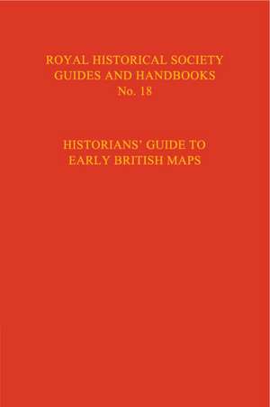
Historian's Guide to Early British Maps
Editat de Helen Wallis, Anita McConnellen Limba Engleză Hardback – 24 iul 2018
Preț: 496.96 lei
Preț vechi: 558.39 lei
-11%
Puncte Express: 745
Carte tipărită la comandă
Livrare economică 08-22 decembrie
Livrare prin curier în România Termenul estimat este afișat lângă disponibilitate.
Transport gratuit pentru acest produs Plată online sau ramburs, în funcție de opțiunile comenzii.
Retur gratuit în 14 zile Comandă securizată și suport în română.
Specificații
ISBN-13: 9780521551526
ISBN-10: 0521551528
Pagini: 476
Dimensiuni: 145 x 222 x 31 mm
Greutate: 0.74 kg
Ediția:Revised
Editura: Cambridge University Press
Locul publicării:Cambridge, United Kingdom
ISBN-10: 0521551528
Pagini: 476
Dimensiuni: 145 x 222 x 31 mm
Greutate: 0.74 kg
Ediția:Revised
Editura: Cambridge University Press
Locul publicării:Cambridge, United Kingdom
V-ar putea interesa
-
 BellePaula ByrnePreț: 93.86 lei
-
 The Making of the English Working ClassE. P. ThompsonPreț: 147.39 lei
-
 -17%Preț: 347.62 lei418.61 lei
-
 -26%Preț: 73.30 lei99.38 lei
-
 The Cambridge Companion to the Scottish EnlightenmentAlexander Broadie-21%Preț: 197.55 lei251.19 lei
-
 Revolution, Radicalism and ReformRichard BrownPreț: 163.53 lei
-
 The Discovery of IslandsJ. G. A. PocockPreț: 335.34 lei
-
 Winston Churchill in the Twenty-First CenturyRoland QuinaultPreț: 316.85 lei
-
 Great Britain's Great WarJeremy Paxman-17%Preț: 65.97 lei79.66 lei
-
 Modern Britain, 1750 to the PresentJames VernonPreț: 270.05 lei
-
 The Letters of Queen VictoriaQueen Victoria-19%Preț: 463.29 lei571.96 lei
Cuprins
Preface and acknowledgements; Part I. The History and Purpose of Maps: 1. List of essays on regional and specialised maps; 2. Editor's introduction; 3. Essays on regional and specialised maps; Part II. The Repositories: 4. Sources of information for Part II; 5. Note on stray manuscript maps; 6. Maps in the colleges of the universities of Oxford and Cambridge; 7. Abbreviations; 8. Old standards of length and map scales; 8. Key to arrangement of entries; 9. The repositories for England, the Channel Islands and the Isle of Man; 10. The repositories for Wales; 11. The repositories for Scotland; 12. The repositories for Northern Ireland; 13. The repositories for Ireland; Index to repositories.
Descriere
The publication of this volume from the Royal Historical Society provides a comprehensive guide to the early maps of Great Britain and Ireland.