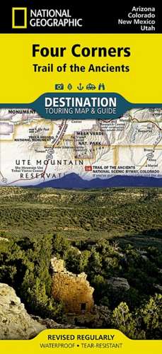
Four Corners: Destination Map
Autor National Geographic Mapsen Limba Engleză Sheet map, folded – 20 ian 2012
- Waterproof - Tear-Resistant - Travel Map
National Geographic's Four Corners Region Destination Map strikes the perfect balance between map and guidebook and is ideal for a wide range of travelers. The Four Corners Region is the only place in the United States where four states intersect at one point: Arizona, Colorado, New Mexico and Utah.
- The map guide seeks to contribute to the economic health of communities in the Four Corners Region by promoting geotourism: tourism that sustains or enhances the geographical character of a place -- its environment, culture, aesthetics, heritage and the well-being of its residents.
- The front side of the Four Corners Destination Map reveals a map of the region spanning from Dixie National Forest in southeastern Utah; to Great Sand Dunes National Park and Preserve and San Isabel National Forest in southwestern Colorado; to Santa Fe National Forest and Cibola National Forest in northwestern New Mexico; to Coconino National Forest in northeastern Arizona.
- At the center of the map is the Four Corners Monument, where visitors can stand on the only spot in the United States where four states meet.
- The map also includes a detailed road network and areas of interest such as Indian Reservations and National Parks, Forests, Monuments and Recreation Areas.
- Archaeological sites, historic sites, museums, scenic areas, geotourism locations, state parks and other points of interest are also featured.
- The reverse side of the map provides invaluable content for travelers with individual maps and descriptions highlighting archaeological sites, festivals, museums and events; outdoor recreation opportunities; water and geologic features; and arts, music and cultural points of interest.
- The map also features important travel tips and beautiful photographs showcasing some of many ways travelers can experience this enchanted landscape.
- Chart of the Four Corners Region's national parks including services and contact information
- Colorful photographs featuring the region's diverse terrain
- National parks and monuments, geotourism places of interest, historic sites and more
- Descriptive content and individual maps highlighting archaeological sites, outdoor recreation opportunities, water and geologic features, and arts, music and cultural points of interest
Every Destination map is printed on "Travel-Tough" waterproof, tear-resistant paper.
- Map Scale = 1:758,930
- Sheet Size = 37.75" x 25.5"
- Folded Size = 4.25" x 9.25"
Preț: 70.00 lei
Puncte Express: 105
Disponibil
Livrare economică 28 octombrie-11 noiembrie
Livrare prin curier în România Termenul estimat este afișat lângă disponibilitate.
Transport gratuit de la 400.00 lei Plată online sau ramburs, în funcție de opțiunile comenzii.
Retur gratuit în 14 zile Comandă securizată și suport în română.
Specificații
ISBN-13: 9781597754507
ISBN-10: 1597754501
Pagini: 1
Dimensiuni: 110 x 235 x 8 mm
Greutate: 0.1 kg
Ediția:Revised/Waterpr.
Editura: National Geographic Maps Division
Colecția National Geographic Maps Division
Locul publicării:Washington, United States
ISBN-10: 1597754501
Pagini: 1
Dimensiuni: 110 x 235 x 8 mm
Greutate: 0.1 kg
Ediția:Revised/Waterpr.
Editura: National Geographic Maps Division
Colecția National Geographic Maps Division
Locul publicării:Washington, United States
V-ar putea interesa

Descriere
The newly redesigned National Geographic DestinationMaps series strikes the perfect balance between map and guidebook, and they are the ideal resource for touring culturally and geographically unique areas. All maps are double-sided with beautiful photos and detailed travel information, including comprehensive road networks, local information and natural, historical and cultural places of interest. The maps are printed on durable, waterproof, tear-resistant material that is lightweight and easily folded to fit in your pocket.