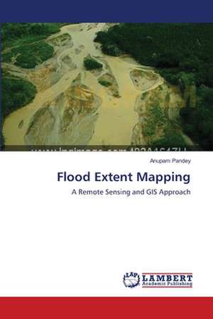
Flood Extent Mapping
Autor Anupam Pandeyen Limba Engleză Paperback – 27 mai 2012
Preț: 311.78 lei
Puncte Express: 468
Carte tipărită la comandă
Livrare economică 25 august-08 septembrie
Livrare prin curier în România Termenul estimat este afișat lângă disponibilitate.
Transport gratuit de la 400.00 lei Plată online sau ramburs, în funcție de opțiunile comenzii.
Retur gratuit în 14 zile Comandă securizată și suport în română.
Specificații
ISBN-13: 9783659138324
ISBN-10: 3659138320
Pagini: 96
Dimensiuni: 152 x 229 x 6 mm
Greutate: 0.15 kg
Editura: LAP LAMBERT ACADEMIC PUBLISHING AG & CO KG
Colecția LAP Lambert Academic Publishing
ISBN-10: 3659138320
Pagini: 96
Dimensiuni: 152 x 229 x 6 mm
Greutate: 0.15 kg
Editura: LAP LAMBERT ACADEMIC PUBLISHING AG & CO KG
Colecția LAP Lambert Academic Publishing
V-ar putea interesa
-
 -22%Preț: 522.34 lei671.82 lei
 -
 Captain ScottRanulph Fiennes-27%Preț: 73.74 lei100.41 lei
 -
 Scott And Amundsen: The Last Place on EarthRoland Huntford-27%Preț: 89.09 lei121.66 lei
 -
 Coral Reef FishesEwald LieskePreț: 168.26 lei
 -
 The Song Of The DodoDavid QuammenPreț: 148.22 lei
 -
 What is Geography?Alastair BonnettPreț: 375.96 lei
 -
 The SAGE Handbook of BiogeographyAndrew Millington-27%Preț: 1080.15 lei1479.66 lei
 -
 Spatial Statistics: GeoSpatial Information Modeling and Thematic MappingMohammed A. Kalkhan-18%Preț: 786.14 lei958.70 lei
 -
 Key Concepts in PlanningGavin ParkerPreț: 382.55 lei
 -
 Key Concepts in Economic GeographyYuko AoyamaPreț: 441.08 lei
Notă biografică
Dr. Anupam Pandey has been associated with Department of Geography, Allahabad University since 1992 as a student, researcher and teacher. He has been teaching at Allahabad University since last 10 years and is presently an Assistant Professor in the Geography Department.