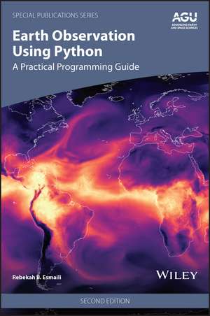
Earth Observation Using Python
Autor Rebekah B. Esmailien Limba Engleză Hardback – 9 dec 2026
Preț: 1116.15 lei
Preț vechi: 1449.54 lei
-23% Precomandă
Puncte Express: 1674
Carte nepublicată încă
Livrare prin curier în România Precomanda se expediază când titlul devine disponibil.
Transport gratuit pentru acest produs Plată online sau ramburs, în funcție de opțiunile comenzii.
Retur gratuit în 14 zile Comandă securizată și suport în română.
Doresc să fiu notificat când acest titlu va fi disponibil:
Se trimite...
Specificații
Notă biografică
Rebekah B. Esmaili, PhD, Physical Scientist, Maryland, USA.
Cuprins
Preface vii
Acknowledgments xi
Part I Overview of Satellite Datasets
1 A Tour of Current Satellite Missions and Products 3
2 Overview of Python 15
3 A Deep Dive into Scientific Datasets 23
Part II Practical Python Tutorials for Remote Sensing
4 Practical Python Syntax 47
5 Importing Standard Earth Science Datasets 71
6 Plotting and Graphs for All 103
7 Creating Effective and Functional Maps 133
8 Performing Gridding Operations 163
9 Exploring Polar Orbiting Sensor Data 187
10 Exploring Geostationary Sensor Data 229
Part III Effective Coding Practices
11 Meaningful Visuals Through Data Combination 273
12 Demystifying Machine Learning 305
13 Exporting with Ease 349
14 Developing a Workflow 363
15 Reproducible and Shareable Science 383
Conclusion: Continuing the Python Journey 397
Appendix A: Installing Python 399
Appendix B: Notebooks 405
Appendix C: Python in the Cloud 413
Appendix D: Additional Learning Resources 421
Appendix E: Coding Tools 423
Appendix F: Finding, Accessing, and Downloading Satellite Datasets 425
Appendix G: Acronyms 433
Index 437
Acknowledgments xi
Part I Overview of Satellite Datasets
1 A Tour of Current Satellite Missions and Products 3
2 Overview of Python 15
3 A Deep Dive into Scientific Datasets 23
Part II Practical Python Tutorials for Remote Sensing
4 Practical Python Syntax 47
5 Importing Standard Earth Science Datasets 71
6 Plotting and Graphs for All 103
7 Creating Effective and Functional Maps 133
8 Performing Gridding Operations 163
9 Exploring Polar Orbiting Sensor Data 187
10 Exploring Geostationary Sensor Data 229
Part III Effective Coding Practices
11 Meaningful Visuals Through Data Combination 273
12 Demystifying Machine Learning 305
13 Exporting with Ease 349
14 Developing a Workflow 363
15 Reproducible and Shareable Science 383
Conclusion: Continuing the Python Journey 397
Appendix A: Installing Python 399
Appendix B: Notebooks 405
Appendix C: Python in the Cloud 413
Appendix D: Additional Learning Resources 421
Appendix E: Coding Tools 423
Appendix F: Finding, Accessing, and Downloading Satellite Datasets 425
Appendix G: Acronyms 433
Index 437