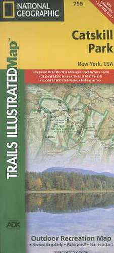
Catskill Park: Trails Illustrated Other Rec. Areas
Autor National Geographic Mapsen Limba Engleză Sheet map, folded – 2 aug 2012
- Waterproof - Tear-Resistant - Topographic Map
National Geographic's Trails Illustrated map of Catskill Park is designed to meet the needs of outdoor enthusiasts by combining valuable information with unmatched detail of a park that consists of 700,000 acres of beautiful forests, mountains, rivers, and lakes. Created in partnership with the Adirondack Mountain Club (ADK) that provided trail information from its Forest Preserve Series of trail guides, this map will prove invaluable regardless of the season or the reason for your visit.
- Key areas of interest featured on this map include Ashokan, Pepacton, and Schoharie reservoirs; Belle Ayr Mountain; Slide Mountain Wilderness; Campbell Mountain; and Mongaup Pond.
- The print version of the map includes an inset of North/South Lake for additional detail.
- Whatever your chosen activity, the Catskill Park map can guide you off the beaten path and back again with a handy trail chart showing location, mileage, trail use, and difficulty levels for dozens of trails.
- Mileages between intersections are shown and the map base includes contour lines and elevations for summits, passes and many lakes.
The Shawangunk Mountain Scenic Byway is noted for those wishing to take in the scenery by car. Public fishing easements, footbridges, swimming areas, snowmobile parking areas, boat launches, covered bridges, waterfalls, ski areas, and other points of interest are clearly marked.
Every Trails Illustrated map is printed on "Backcountry Tough" waterproof, tear-resistant paper. A full UTM grid is printed on the map to aid with GPS navigation.
Other features found on this map include: Acra, Andes, Ashokan Reservoir, Black Dome, Blackhead, Callicoon, Catskill Mountains, Cornell Mountain, De Lancey, Delaware County, Delhi, Doubletop Mountain, Fleischmanns, Graham Mountain, Greene County, Hobart, Hunter, Hunter Mountain, Kingston, Liberty, Livingston Manor, Margaretville, Palenville, Peekamoose Mountain, Pepacton Reservoir, Phoenicia, Plateau Mountain, Prattsville, Rondout Reservoir, Roscoe, Roxbury, Slide Mountain, Table Mountain, Thomas Cole Mountain, Ulster County, Vly Mountain, West Kill Mountain.
- Map Scale = 1:75,000
- Sheet Size = 25.5" x 37.75"
- Folded Size = 4.25" x 9.25"
Preț: 69.46 lei
Disponibil
Livrare economică 20 octombrie-03 noiembrie
Specificații
ISBN-10: 1566955882
Pagini: 1
Dimensiuni: 110 x 235 x 8 mm
Greutate: 0.09 kg
Editura: National Geographic Maps Division
Colecția National Geographic Maps Division
Locul publicării:Washington, United States
